|
Catalog | Order | Support | Index | Contact | Home | ||||||||||
|
|
|
|
|
|
|
|||||||||||
| USA Relief | Tech Spec | Catalog | Guide | Download | License | |||||||||||
USA Relief Catalog - The State of Ohio
Map Specifications for the State of Ohio
| Map identification: | Ohio | Projection system: | Geographic / Plate Carree |
| Map coverage: | State of Ohio | North boundary: | 42º North |
| Image size (pixels): | 7200 x 4800 pixels | South boundary: | 38º North |
| Map size at 300 dpi: | 24 x 16 inches | East boundary: | 80º West |
| Map size at 100 dpi: | 96 x 64 inches | West boundary: | 86º West |
| Resolution per pixel: | 100 meters | Scale (300 dpi): | 1:1,000,000 |
| RGB file size: | 104 Mb | Scale (72 dpi): | 1:400,000 |
| CMYK file size: | 138 Mb | Vertical interval: | 100 meters |
| Grayscale file size: | 35 Mb | Vertical exaggeration: | 3 times normal |
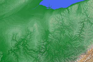 Cartographic style relief rendering Check out the detail view |
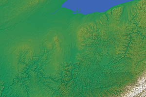 Designer house style relief rendering |
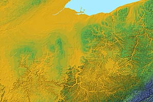 High contrast elevation style relief rendering |
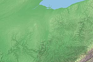 Low contrast elevation style relief rendering |
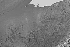 Grayscale land relief rendering |
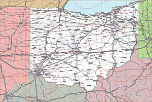 Vector EPS Ohio map with layers Check out the detail view |
Ohio Map #936 - Buying Options
AK
AL
AR
AZ
CA
CO
CT
DE
FL
GA
HI
IA
ID
IL
IN
KS
KY
LA
MA
MD
ME
MI
MN
MO
MS
MT
NC
ND
NE
NH
NJ
NM
NV
NY
OH
OK
OR
PA
RI
SC
SD
TN
TX-E
TX-W
UT
VA
VT
WA
WI
WV
WY
![]()
USA Relief Maps ~ Digital Wisdom Inc ~ PO Box 11 ~ Tappahannock VA 22560 ~ USA
800-800-8560 | 804-443-9000 | Email
© Digital Wisdom, Inc.
Any comments or problems with this site? Please let us know - thank you!

